Weekly Weather Forecast and Monsoon Update: 17 May 2026 to 23 May 2026
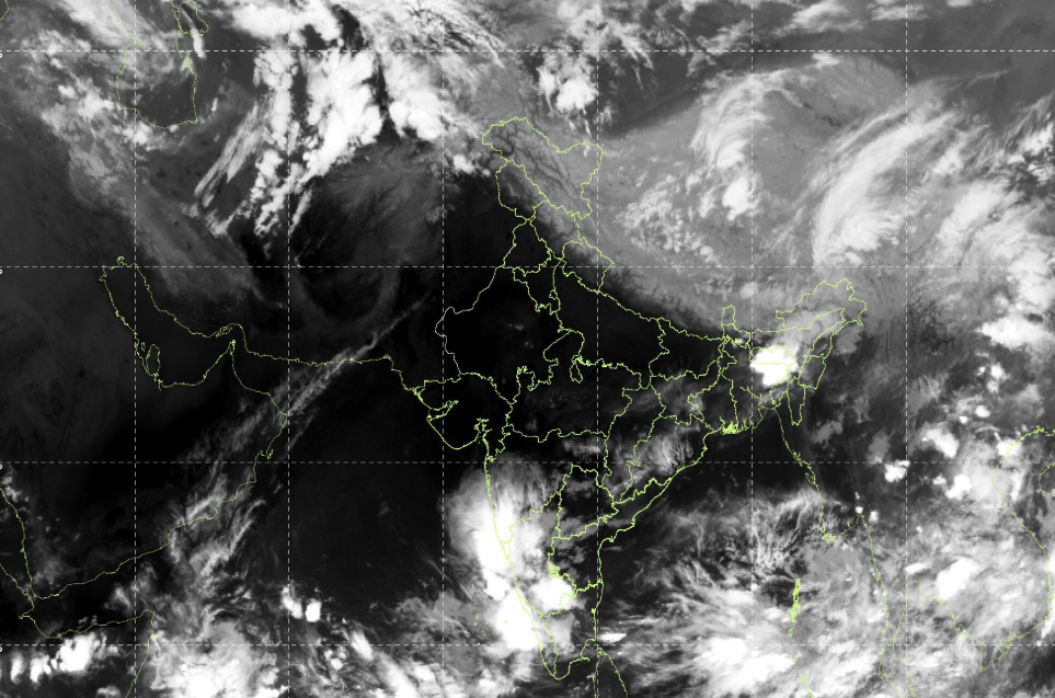
The India Meteorological Department (IMD) has officially announced the further advancement of the South West Monsoon on 16 May 2026. The monsoon has advanced into parts of the South East Arabian Sea, South West and South East Bay of Bengal, many parts of the Andaman Sea, the entire Nicobar Islands, and parts of the Andaman Islands including Sri Vijay Puram.
This marks an important seasonal transition and indicates the gradual strengthening of monsoon circulation over the Indian region.
South West Monsoon Advancement Update
According to IMD, conditions remain favourable for the further advancement of the South West Monsoon during the next 3 to 4 days into:
- More parts of the South East Arabian Sea
- Additional areas of the South East and South West Bay of Bengal
- Remaining parts of the Andaman Islands
- Some parts of the East Central Bay of Bengal
Meteorologists are closely monitoring the evolving synoptic systems over the Bay of Bengal and Arabian Sea, which are supporting moisture transport and strengthening monsoon activity.
Low Pressure Area Over Bay of Bengal
A low pressure area currently lies over the South West adjoining West Central Bay of Bengal. Such systems often enhance rainfall activity over eastern and southern parts of India by strengthening moisture inflow and atmospheric instability.
This system is expected to influence weather conditions over peninsular and eastern India during the coming days.
Weather Outlook (17–19 May 2026)
Severe Heat Wave Warning
Severe heat wave conditions are likely to occur over:
- Uttar Pradesh
- West Rajasthan
Day temperatures may remain significantly above normal, posing health risks especially during afternoon hours.
Safety Precautions
- Avoid direct sun exposure during peak afternoon hours
- Stay hydrated and consume sufficient fluids
- Avoid strenuous outdoor activities
- Use light cotton clothing
Heat Wave Conditions Likely
Heat wave conditions are expected over:
- Punjab
- Haryana
- Chandigarh
- Delhi
- Vidarbha
- Madhya Pradesh
- Chhattisgarh
These regions are expected to experience hot and dry weather conditions with elevated daytime temperatures.
Thunderstorm with Heavy Rainfall Expected
Thunderstorm activity accompanied by heavy rainfall is likely over:
- Tamil Nadu
- South Interior Karnataka
- Puducherry
- Kerala
Possible impacts may include:
- Localized waterlogging
- Gusty winds
- Lightning activity
- Temporary traffic disruptions
Residents are advised to remain alert during thunderstorm periods.
Moderate Rainfall Forecast
Moderate rainfall is expected over:
- Andhra Pradesh
- Odisha
Rainfall activity may bring temporary relief from heat conditions in some areas.
Light to Moderate Rainfall Activity
Light to moderate rainfall is likely over northeastern states including:
- Assam
- Meghalaya
- Nagaland
- Manipur
- Mizoram
Cloudy weather and intermittent rainfall are expected across several areas of the Northeast region.
Seasonal Transition Becoming More Active
The current weather pattern clearly indicates increasing monsoon activity over the Bay of Bengal and southern seas. Simultaneously, northwestern and central India continue to experience intense pre-monsoon heat conditions.
As the monsoon progresses further northward in the coming weeks, weather conditions across India are expected to gradually shift from dry heat toward increased thunderstorm and rainfall activity.
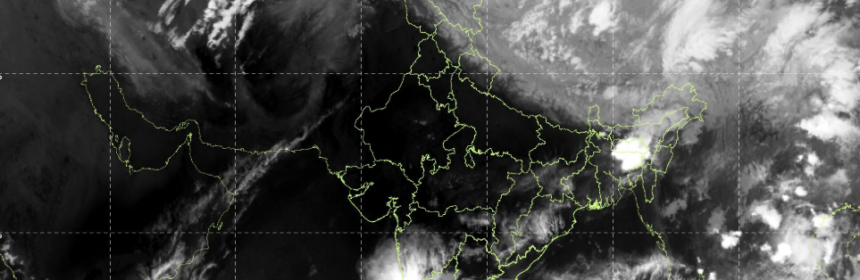
Satellite image IMD: 17th May 2026, 2230 hrs IST