Monsoon to become active by 6th August – Weekly forecast for Till 07th August
Monsoon Trough
Monsoon trough is at the north of its normal position. It will remain at the north of its normal position for three to four days.
By 04th or 05th a low pressure area will form over Bay of Bengal near Odisha coast. Monsoon trough will start moving southward.
Other Weather Systems
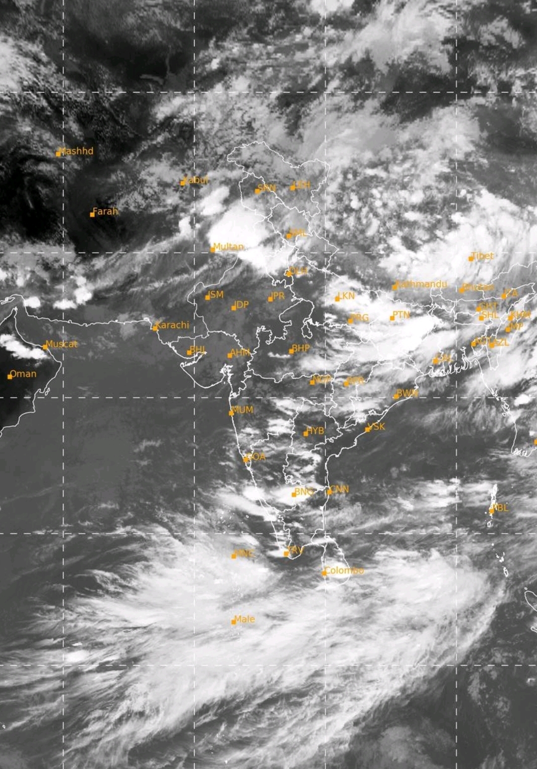
A north south trough is lying from North Interior Karnataka to Comorin area across south Interior Karnataka.
Cyclonic Circulation
A cyclonic circulation is lying over South Central Bay of Bengal near Andaman Nicobar island.
Rainfall Activity
01st August – Due to Western disrurbance, rain over Jammu, Punjab, Haryana, Himachal Pradesh and Uttarakhand, West Uttar Pradesh.
Also heavy to very heavy spells over Jammu and Punjab.
1st 2nd and 3rd Augist – Andhra Pradesh and Telangana there will be heavy to very heavy raiin. Light to moserate rainfall at some places over Kerala, Tamil Nadu and Interior Karnataka.
East Uttar Pradesh, Bihar and Jharkhand will also have rain with spells of heavy to very heavy fall at some places.
On 04th 05th 06th August – rainfall activity will be over Odisha Chhattisgarh Vidarbha coastal Karnataka Konkan Madhya Maharashtra, west Madhya Pradesh, south Rajasthan.
05th and 06th August – Heavy rainfall over Konkan including Mumbai.
On 07th August – low will become strong and rainfall activity will be heavy over Odisha, Chhattisgarh and Vidarbha