Weather Forecast from 3rd to 7th April 2026
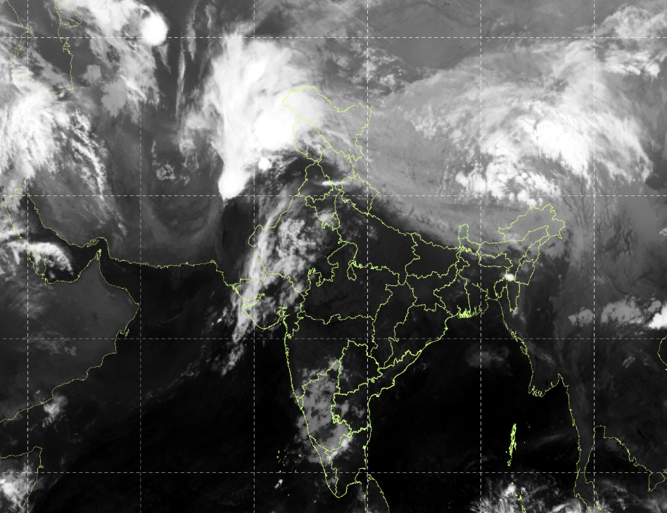
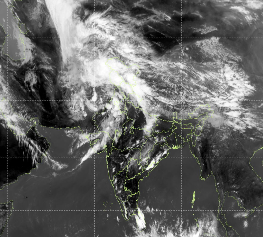
A Western Disturbance embedded in the mid-latitude westerlies is currently affecting Northwest India, inducing widespread clouding and precipitation over the Western Himalayan region and adjoining plains. The system is supported by upper-level divergence and moisture incursion from the Arabian Sea, leading to enhanced instability and convective activity. Concurrently, moisture convergence and localized thermal instability are influencing parts of Northeast and Peninsular India, resulting in thunderstorm activity. Another Western Disturbance is likely to approach Northwest India from 7th April, indicating continuation of active weather conditions over the region
Northwest India (Primary Impact Zone)
Affected Regions: Jammu & Kashmir, Himachal Pradesh, Punjab, Haryana, Delhi, Uttarakhand
3rd – 5th April
- Widespread rainfall expected across the region.
- Nature: Light to moderate rain with embedded convective activity.
4th April (Peak Activity)
- Hailstorm likely at isolated locations in Punjab
- Indicates:
- Strong updrafts
- Localized severe convection
Northeast India
Affected Regions: Arunachal Pradesh, Nagaland
4th – 5th April
- Heavy rainfall at isolated places
- Hailstorm possible at 1–2 locations
Southern Peninsular India
Affected Region: Interior Tamil Nadu
5th – 6th April
- Thunderstorms with heavy rainfall
Outlook (Beyond 6th April)
- New Western Disturbance from 7th April
- Suggests:
- Continued rainfall spells over Northwest India
- Possible fresh thunderstorm/hail episodes
- Suggests:
- Gradual temperature rise expected over central & western India post WD passage
Forecast Confidence
- High for rainfall occurrence (WD-driven)
- Moderate for hail (localized convection dependent)
- Moderate–High for thunderstorm zones (seasonally consistent)
Satellite image IMD: 3rd April 2026 at 1430 hrs IST