Weekly forecast for the week 28th February to 06th March 2022
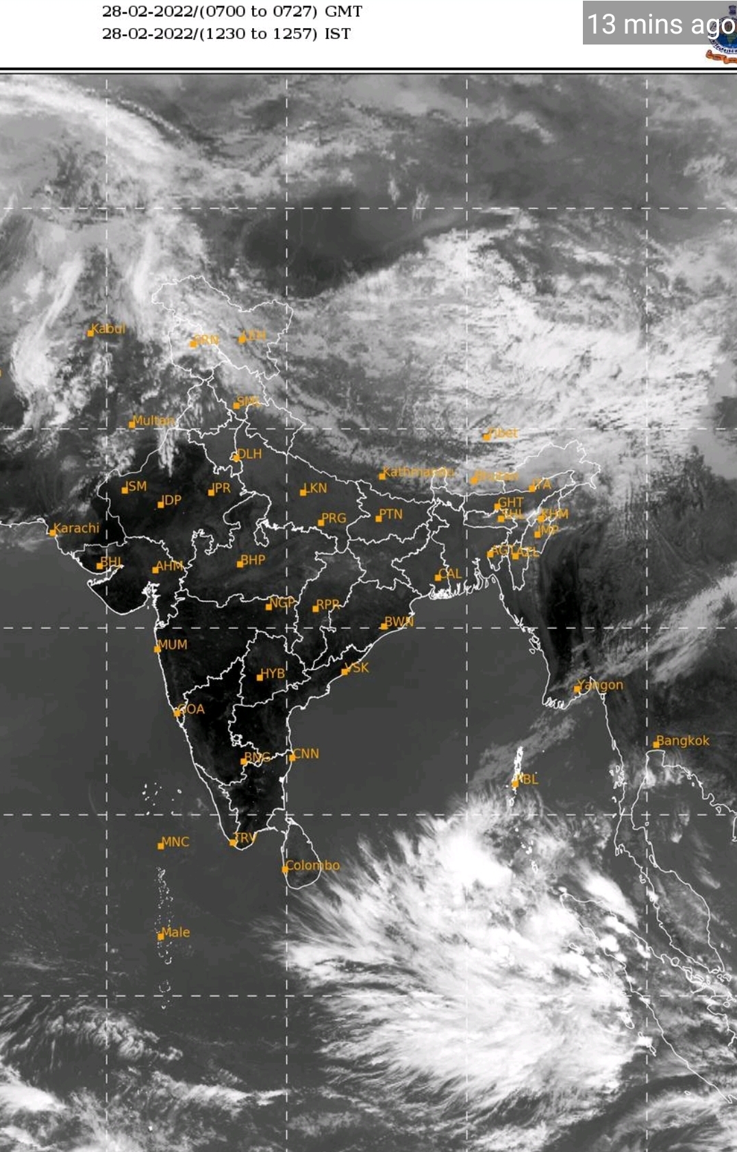
A cyclonic circulation of South Andaman sea will become a low pressure area over South West Bay of Bengal. The system will cross Tamil Nandu by 03rd of March.western Disturbance also will be moving over north India from 03rd March to 06th March.
On 03rd 04th and 05th Tamil Nandu will receive moderate to heavy rain.
On 03rd 04th and 05th Himanchal Pradesh, Uttarakhand, Punjab, Haryana and West Uttar Pradesh will receive light to moderate rainfall or snow falls.
Rest of the country will have dry weather. There will not be much change in day and night temperature. From 04th March onwards rise in day temperature will be observed by central India
सप्ताह 28 फरवरी से 06 मार्च 2022 के लिए साप्ताहिक पूर्वानुमान:
दक्षिण अंदमान सागर का एक चक्रवाती परिसंचरण (cyclonic circulation) दक्षिण पश्चिम बंगाल की खाड़ी के ऊपर एक निम्न दबाव का क्षेत्र बन जाएगा। यह सिस्टम 03 मार्च तक तमिलनाडु को पार कर जाएगा। पश्चिमी विक्षोभ (Western disturbance) भी 03 मार्च से 06 मार्च तक उत्तर भारत में आगे बढ़ेगा।
03, 04 और 05 तारीख को तमिलनाडु में मध्यम से भारी बारिश होगी।
03, 04 और 05 तारीख को हिमाचल प्रदेश, उत्तराखंड, पंजाब, हरियाणा और पश्चिमी उत्तर प्रदेश में हल्की से मध्यम बारिश या हिमपात होगा।
देश के बाकी हिस्सों में शुष्क मौसम रहेगा। दिन और रात के तापमान में ज्यादा बदलाव नहीं होगा। 04 मार्च से मध्य भारत में दिन के तापमान में वृद्धि देखी जाएगी।
Image source IMD 28th February 2022 at 1315 hrs IST